Mapping and surveying at Fortuna 1942-2008
 Western Front Association Central Victoria Branch
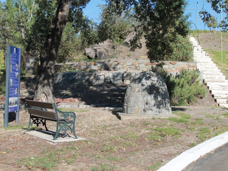
THE DIGGERS MARK – FORTUNA
The cairn in the grounds of Fortuna Villa pays tribute to the many service men and women who served at “Fortuna” between 1942 and 1996.
Fortuna Villa was taken into private ownership in June 2013 and now operates as an events and function centre. Access to the cairn is possible from the car park. The Villa and grounds can be visited by appointment only.
FORTUNA VLLA
The first building on the site was a modest house built by the gold miner Christopher Ballerstedt in 1858. This was extended to designs by architect partners William Vahland and Robert Getzschmann, whose services were retained when the property was sold to the mining entrepreneur George Lansell - the “Quartz King” - in 1871. George made further extensive additions and alterations, and by the early 20th century, it was a mansion of more than 40 rooms.
THE ARMY SURVEY REGIMENT
The Army Survey Corps was raised as a unit of the Permanent Military Force on 1 July 1915 – just 10 weeks after the landings at Gallipoli. After the Great War, the Corps established survey and drafting sub-sections in Melbourne, and when a photographic/lithographic section was added in 1941, the unit was renamed the Land Headquarters Cartographic Company.
The Company moved into Fortuna Villa in Bendigo on 11 June 1942 and went on to produce 834 maps and printed 20 million maps and charts, including the mapping to assist the retaking of the Philippines.
Following the Second World War, the Company produced and printed the charting for the Royal Australian Air Force and printed maps for the Royal Australian Navy. The unit completed mapping Papua New Guinea and made significant contributions to the Defence Cooperation Survey and mapping programs in Indonesia and the South West Pacific countries.
In 1955, the Southern Command Field Survey Section was relocated to Bendigo. The Company was upgraded to a Regiment and renamed the Army Headquarters Survey Regiment.
The Regiment provided significant mapping support to the allied forces during the Vietnam War and emergency mapping in rebuilding Darwin after the devastation of Cyclone Tracy.
In 1973, the Regiment was renamed the Army Survey Regiment.
The role of the Royal Australian Survey Corps was to provide the mapping, charting and geodetic support to the Australian Defence Force and to contribute to national mapping programmes throughout Australia and its region. The Royal Australian Survey Corps was disbanded on 1 July 2006 when its traditional military topographic support function was formally re-integrated with the Royal Australian Engineer Corps. The remaining mapping functions were either transferred to other Australian Defence organisations or ceased as military sponsored activity.
Since 1942, a majority of the members of the Royal Australian Survey Corps had served at Fortuna Barracks at some stage. The Army Survey Regiment was disbanded in November 1996 and the Department of Defence operations at Fortuna Barracks ceased in 2008.